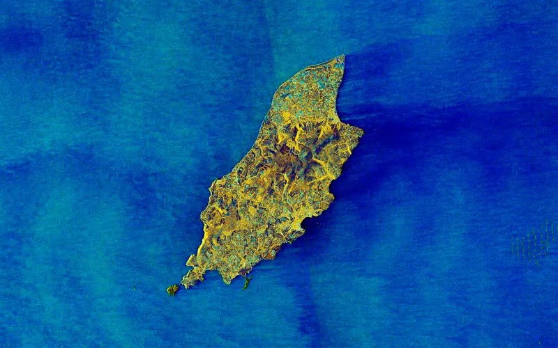
A European space mission has released a unique image of the Isle of Man taken from orbit.
The Copernicus Sentinel satellite is jointly run by the European Commission and the European Space Agency and monitors sea conditions.
It’s released a picture of the Irish Sea taken from 430 miles above the Earth’s surface using dual-polarization radar technology.
In the image, rougher seas appear lighter while calmer waters are a darker colouraround the Isle of Man.